
GeoHazards 2023, 4(3), 328-349; https://doi.org/10.3390/geohazards4030019 - 11 Aug 2023
Abstract
►
Show Figures
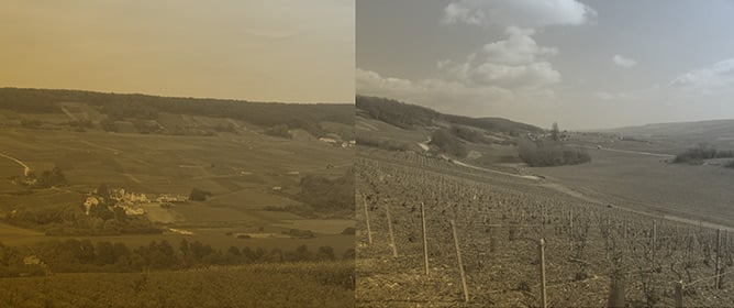
Mongolia’s northernmost province, Khövsgöl Aimag, famous for its massive Lake Khövsgöl set among the mountainous steppe, taiga, and tundra forests, increasingly attracts both domestic and international tourists. Before the COVID-19 pandemic, Mongolia received over 500,000 tourists annually. The aimag is also home to
[...] Read more.
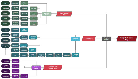
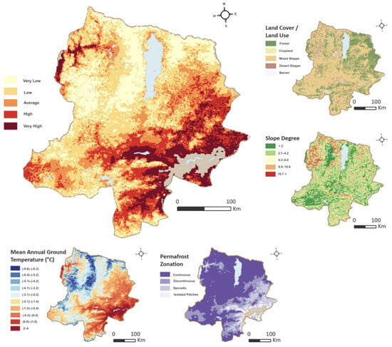
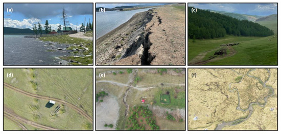
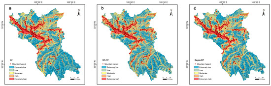
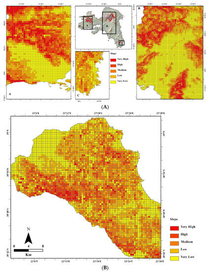
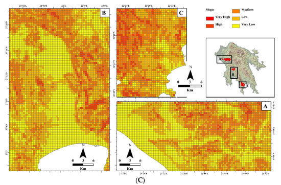
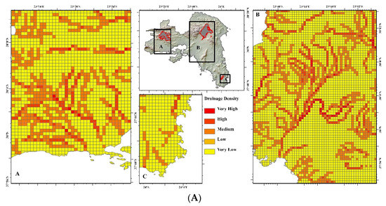
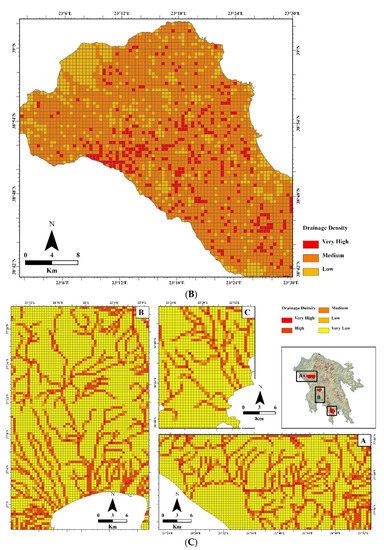
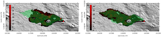
Mongolia’s northernmost province, Khövsgöl Aimag, famous for its massive Lake Khövsgöl set among the mountainous steppe, taiga, and tundra forests, increasingly attracts both domestic and international tourists. Before the COVID-19 pandemic, Mongolia received over 500,000 tourists annually. The aimag is also home to Indigenous, nomadic Dukha reindeer herders and semi-nomadic Darkhad cattle herders. Using a multidisciplinary approach, this study uses an analytical hierarchy process to map areas in Khövsgöl Aimag, where the infrastructure, including buildings, dwellings, formal and informal roads, and pastureland, is subject to geohazards. The hazards of interest to this mapping analysis include mass wasting, flooding, and permafrost thawing, which threaten roads, pastures, houses, and other community infrastructure in Khövsgöl Aimag. Based on the integrated infrastructure risk map, an estimated 23% of the aimag is at high to very high risk for localized geohazards. After a discussion of the results informed by the interviews, mobile ethnographies, and local and national land use policies, we postulate that communities exercising more traditional nomadic lifestyles with higher mobility are more resilient to these primarily localized geohazards.
Full article

Figure 1


.png)


